Grid too coarse
Useful data on a large scale, but difficult to use for a specific beach or site.
SargaMap improves the accuracy of stranding forecasts by a factor of 10: where satellite data provides a grid of around 30 km, SargaMap uses a resolution of under 3 km. Forecasts are updated daily, with a one-week horizon, to help coastal stakeholders better plan preventive
Preview of a version in development. The interface and features shown are subject to change.
Anticipating sargassum strandings is currently difficult at the level of an individual site. The available satellite data operates on a grid of approximately 30 km.
At this scale, a sargassum patch detected at sea does not always allow us to know whether the sargassum will affect a specific beach or another area located several kilometers away. Hotels, local authorities and operators often organise their response at short notice.
Useful data on a large scale, but difficult to use for a specific beach or site.
Teams often react when the sargassum is already close or stranded.
Without a local forecast, it is more difficult to prioritize areas to treat.
Thanks to an exclusive model developed by Sargawatt, SargaMap refines the forecast of strandings by going from a grid of around 30 km to a resolution of less than 3 km.
For a hotel, a community or an operator, SargaMap becomes a management tool. It helps prepare a targeted intervention, adjust the resources to be mobilized and prioritize the areas to be protected according to the level of risk.
Organize the teams before the arrival of the sargassum.
Concentrate resources where the risk is highest.
Limit interventions when local risk is low.
Improve the organization to limit emergency management.
SargaMap and SargaJet® form a complete solution. SargaMap helps locate aggregations and anticipate arrivals. The SargaJet® then allows for efficient collection at sea, before stranding.
SargaMap identifies risk areas.
The teams prepare the intervention in the right place.
SargaJet® collects the sargassum at sea before it strands.
SargaMap is accessible from a browser. Affected hotels, local authorities and operators can consult the forecasts for their area, anticipate the arrival of sargassum and organize their interventions.
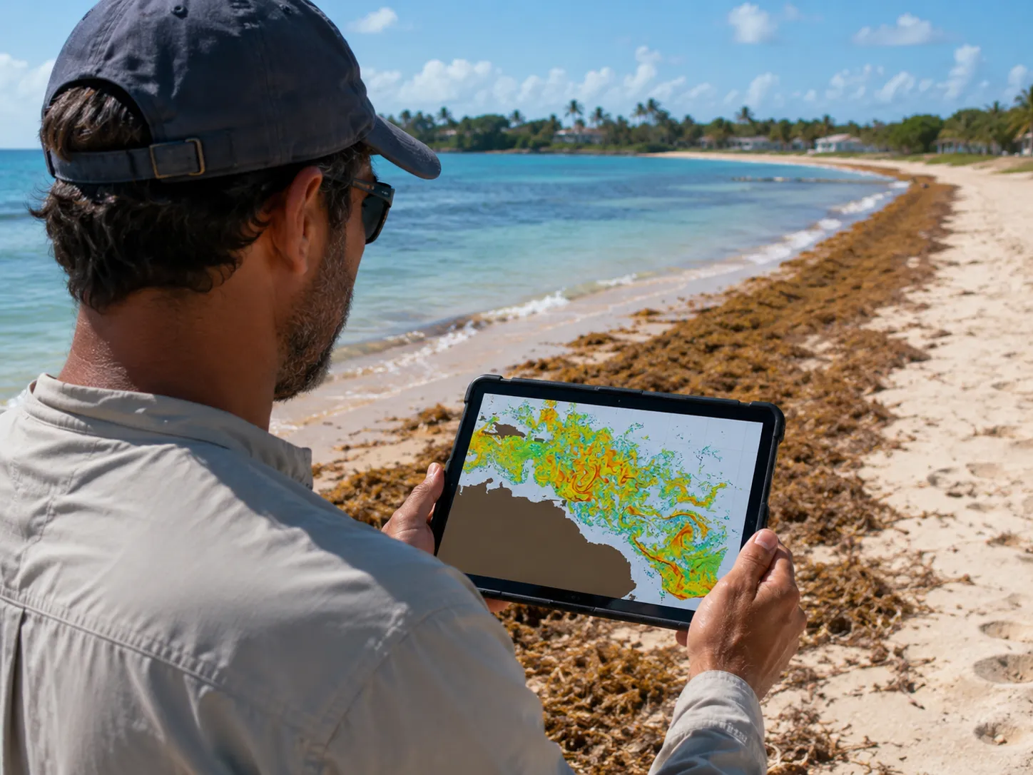
SargaMap provides actionable site-wide stranding forecasts, updated daily and viewable from a browser.
SargaMap currently covers the Caribbean arc and can be extended to other areas of the Caribbean.
SargaMap is included with the SargaJet®. It is also accessible separately, by subscription, for organisations that first wish to improve their anticipation.
Anticipate arrivals and organize collection at sea.
Discover the SargaJet®Improve anticipation before deploying a collection solution.
Contact Sargawatt